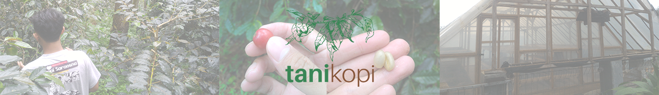
What is tanikopi?
A fact that Indonesia is the fourth largest coffee producing country in the world and it should be noted that in the last 4 years Indonesian coffee production has decreased and last 2 years decline percentage has reached 5.8% or around 36.12 thousand tons (ICO, 2019), which encouraged us to look for more information, especially from the upstream sector by meeting directly with some coffee farmers, because 70% of the processes that affect coffee flavor comes from farm sector. Therefore, the coffee farm management process is a non-negotiable thing.
Coffee farm management aims to improve the quality and production of coffee, but the coffee farm management carried out mostly still based on conventional technology and has not digitally and geospatially recorded. So we try to break down the barrier wall of the digital technology implementation for coffee farm management by coffee farmers. With the presence of Location Based Service, our idea is developing a location-based application to be applied in coffee farm management, namely tanikopi project.
Tanikopi is intended to be used by coffee farmers and coffee farm visitors, in the form of a website and mobile application, based on survey forms from the Survey123 for ArcGIS application to collect data on coffee farm management work (i.e. coffee health threat check, routine maintenance, coffee cherry condition check, and harvesting) and checking the coffee farm infrastructure/activity, also can mark its position with GPS technology on smartphone then it can be visualized in the form of Operation Dashboard and Web Mapping Application (better seen on the website display using PC/laptop). The recorded survey can be downloaded and sent to coffee farmers periodically. Meanwhile, the aspect of coffee farm infrastructure/activity is an important part that needs to be considered for increasing the economic value that can be obtained by coffee farmers by promoting activity and product (green or roasted coffee bean) that can be enjoyed by the wider community.